Gainesville, Florida, USA
August 6, 2025
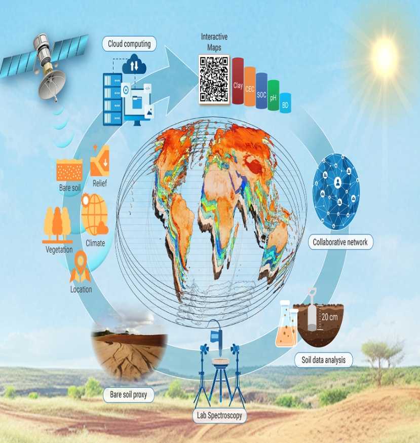
To better understand the planet’s topsoil, an international team of scientists, including University of Florida researchers, created the first high-resolution global maps of key soil properties.
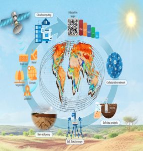
A graphical representation of the various elements and findings related to the researchers’ study. (Courtesy of Sabine Grunwald)
Their assessment, published in the journal The Innovation, could influence everything from agricultural management and sustainable use of resources to water and food security.
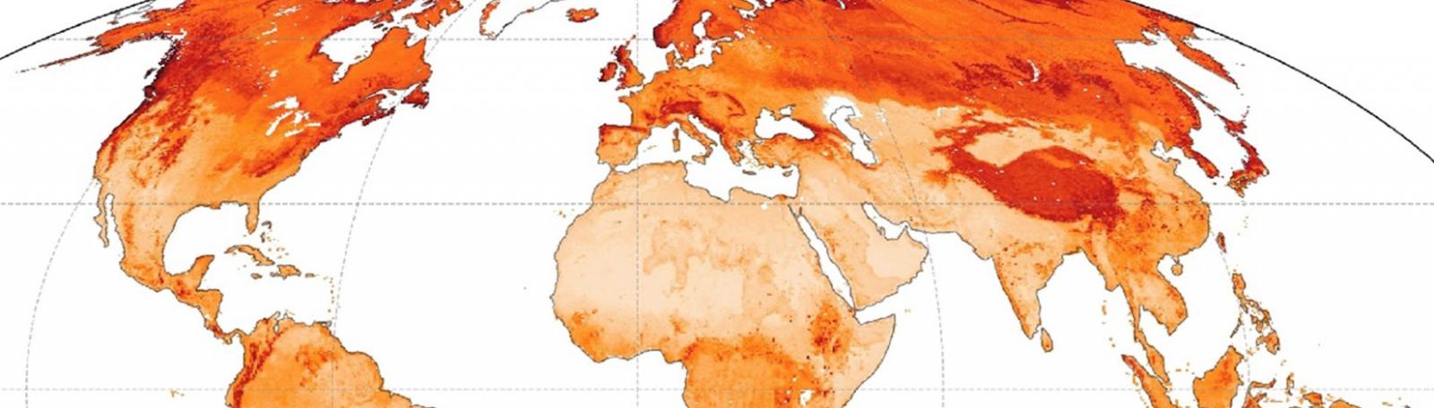
The study integrates more than 150,000 soil observations — including private research data — to reveal soil health properties like organic carbon stock, clay content, pH and bulk density. It uses advanced Earth observation technologies and machine-learning models to generate maps with a 90-meter resolution. That level of detail is finer than any previous global soil dataset.
The maps are publicly available for researchers, policymakers and global development organizations, and they allow users to visualize and analyze soil characteristics across continents.
Insights into soil health
With ongoing weather-related pressures — like floods and heat waves — and food scarcity, the project gives the knowledge to help manage soil. Findings reveal 64% of the world’s topsoil is sandy and susceptible to degradation. This highlights the vulnerability of global food systems. Additionally, soils under natural vegetation store up to 60% more organic carbon than cultivated lands. That difference has implications for soil fertility and ecological resilience.
“This information is necessary to understand how soil health connects to broader environmental and socioeconomic challenges,” said Sabine Grunwald a professor of pedometrics, GeoAI and landscape analysis with the UF Institute of Food and Agricultural Sciences (UF/IFAS) department of soil, water, and ecosystem sciences. “By combining high-resolution remote-sensing data with predictive AI models, we can now assess soil variability with much greater accuracy. We can do this regionally and globally.”
Nikolaos Tziolas, an assistant professor of soil science artificial intelligence, contributed to the data science and modeling aspects of the research.
“This study advances digital soil mapping by merging Earth observation with artificial intelligence,” he said. “The improved spatial detail allows for more targeted land management strategies, especially in areas most at risk for degradation or food insecurity.”

Sabine Grunwald
In addition to mapping soil properties, the study links these environmental variables with socioeconomic data. Examples include poverty levels and agricultural productivity. This integration helps establish what the authors call a “soil-human nexus.”
“Just like proximity to water helps civilizations grow, we see an equally important relationship between soil health and human prosperity,” Tziolas said.
Global policy implications
The study shows the 10 largest countries by land area collectively store 75% of global soil organic carbon stock. However, the poorest nations face the steepest soil degradation.
The finding supports the need for soil-informed policies that address equity, sustainability and long-term resilience, Grunwald said.
“This type of work is essential if we want science-based strategies for the sustainable development of both people and the planet,” she said. “We are mapping soil, but we’re also mapping social and economic opportunities that soil can support.”